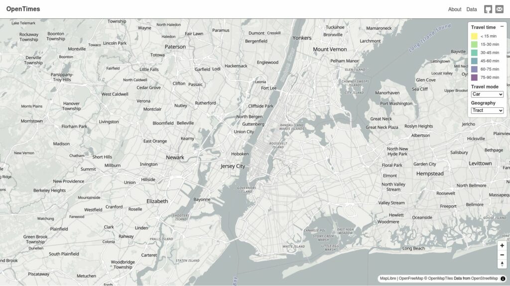
OpenTimes is an interactive travel-time map for the U.S., providing pre-computed, bulk-downloadable data on accessibility between Census geographies. It leverages open-source tools and public data for seamless integration into spatial analysis, enhancing mapping applications.
OpenTimes
